Geography:
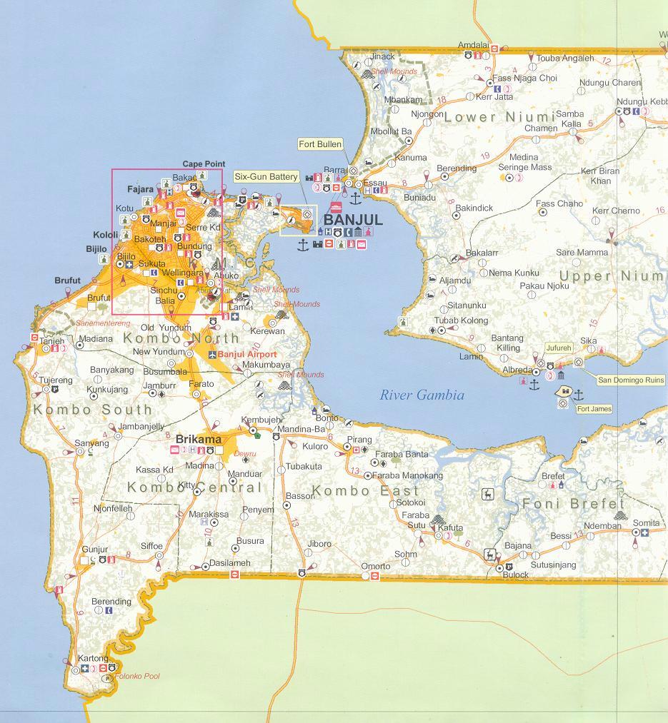
The Gambia is situated in the Sahelian
zone on  the
West Coast of Africa. It is one of the smallest countries in Africa
(the smallest being Seychelles archipelago) and has a total
area of 11,300 square km, of which about 20 percent is described
as wetland. The river runs from east to west, dividing the country
in two strips of land 25 to 50 km wide and about 300 km long. the
West Coast of Africa. It is one of the smallest countries in Africa
(the smallest being Seychelles archipelago) and has a total
area of 11,300 square km, of which about 20 percent is described
as wetland. The river runs from east to west, dividing the country
in two strips of land 25 to 50 km wide and about 300 km long.
The country has a total boundary length of 820 km (510 mi), of
which 80 km (50 mi) is coastline.
The River Gambia, the country's
major waterway, rises in Guinea and follows a twisting path for
about 1,600 km (1,000 mi) to the sea.
A flat plateau of tertiary sandstone, capped with an infertile
ironstone crust, gently rises from 10- 15 m at the coast to 100
m at 400 km inland. The rest of the catchments consists of older
worn Paleozoic and Pre-Cambrian rock with a maximum height of
about 1500 m in the Fouta Djallon. Pleistocene and Holocene (Nouakchottian
transgression) exist along the coast, along the estuaries and
in river valleys.
The landscape two major geomorphologic units can be distinguished
between the uplands and the lowlands:
On the upland plateaus, weathered tropical soils are found. These
soils have low intrinsic fertility and low water
retention capacity, but their drainage conditions are good. The
plateau is intersected by watercourses flowing downwards on the
lowlands. These streams have formed narrow fluvio colluvial valleys
(Wulumbangos).
The lowlands include the floodplain of the River
Gambia in the Upper Valley, and tidal plains (Banta Faros)
in the Central Valley and Lower Valley. The soils of the lowlands
are flat, fine textured and poorly drained. In the LV potentially
acid sulphate soils occur, which can become acidic soils unless
water logging is prevented by drainage.
Water Resources:
Outside salinity risk areas (Scott Wilson Kirkpatrick, 1993),
freshwater can be found throughout The Gambia, at depths ranging
from 4 to 30 mbgl (metres below ground level). In general, depths
increase with proximity to the border with Senegal. Groundwater
recharge depends on the quantity and spatial and temporal distribution
of rainfall, surface geology, and land use (Howard Humphreys and
Sons, 1974; Chow, 1964). Good quality surface water
within the country is only found in the eastern third of the River
Gambia. From June to December, freshwater availability is
boosted by flows from the middle and upper Gambia River Basin
areas. Low flows from January to May are mostly sustained by local
rainfall (Njie, 2002).
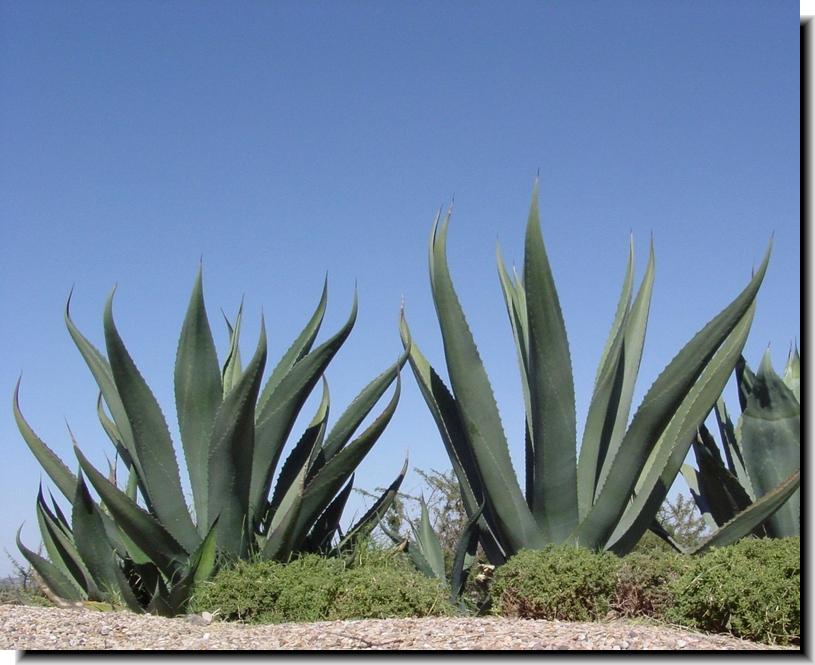
Natural Habitats:
 The
main feature of the land is predominantly Guinea woodland savannah
and Sahelian scrub with with mangroves concentrated near the estuary
of the River Gambia and along
its banks and Bolongs. The
main feature of the land is predominantly Guinea woodland savannah
and Sahelian scrub with with mangroves concentrated near the estuary
of the River Gambia and along
its banks and Bolongs.
The vegetation is comprised of the Savannah type with shrub and
grass understoreys. Mangroves are found in the western half of
the country in the floodplains of the river region. The cultivable
land area is roughly 430,000 hectares, which is 38 percent of
the total area. Back in 2002 available arable land was 250,000
hectares, while 5,000 hectares were under permanent crops.
|
|

 |
|